
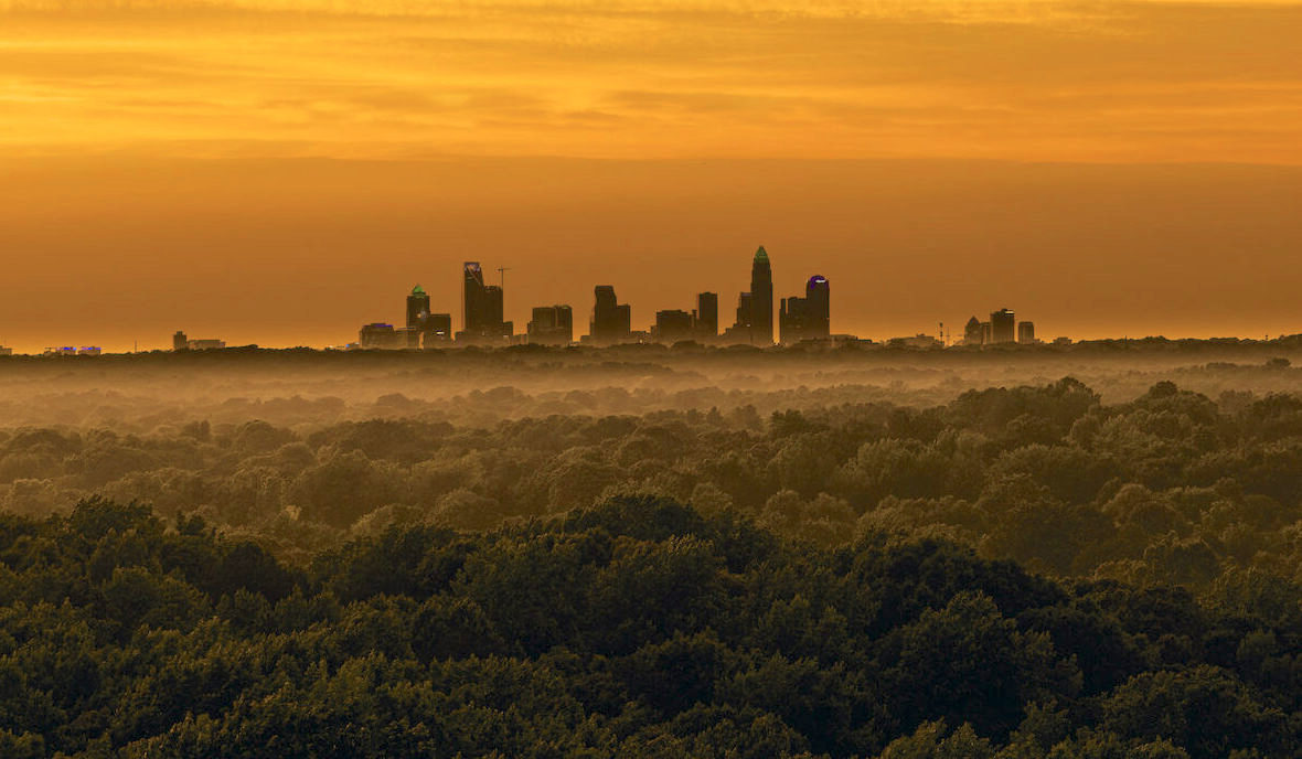
Elizabeth is Charlotte's second-oldest streetcar suburb and one of its most intact. It sits directly east of Uptown around Independence Park and the hospital campus, and it has the bungalow stock, the sidewalks, and the street trees to show for its age.
Orientation
Elizabeth lies immediately east of Uptown, bounded roughly by Independence Boulevard, Hawthorne Lane, Randolph Road, and the edge of the I-277 loop. It is close enough that the skyline is visible from many of its streets.
The neighborhood takes its name from Elizabeth College, which stood here from the 1890s until the 1910s. The campus is gone; the street name and the neighborhood name survived it.
Independence Park, at the neighborhood's southern edge, was Charlotte's first public park. Presbyterian Hospital — now part of the Novant system — occupies a substantial campus in the middle of the neighborhood and has since the early 1900s.
The numbers
Housing
The core stock is early 1900s through the 1920s: Craftsman bungalows, American four-squares, and a scattering of larger Colonial Revival houses on the wider streets. Deep front porches, original millwork, and mature street trees are the norm rather than the exception.
Portions of Elizabeth carry local historic district designation, which means exterior changes go through review. As in Myers Park, whether a specific address falls inside that boundary is a material fact that affects what you can do with the house.
Newer construction exists, mostly condominium and townhome along Elizabeth Avenue and the Independence corridor, plus selective infill on lots the original build-out skipped.
These are older houses in the literal sense. Knob-and-tube wiring, original plumbing stacks, and unreinforced crawl spaces all turn up. A thorough inspection is not optional here.
Day to day
Elizabeth Avenue and Seventh Street carry the neighborhood's restaurants and independent retail, and both are walkable from most of the residential streets. Central Piedmont Community College's main campus sits at the Uptown end of Elizabeth Avenue.
The CityLYNX Gold Line streetcar runs along Elizabeth Avenue and Hawthorne Lane, linking the neighborhood to Uptown and the west side. It is one of the few Charlotte neighborhoods where rail service was the reason the streets were laid out this way in the first place.
Independence Park and the Little Sugar Creek Greenway give the neighborhood direct green space, and the greenway connects south toward Freedom Park.
Schools
Elizabeth addresses fall within CMS. Assignment is by exact address and CMS adjusts boundaries — confirm any assignment directly with CMS before it factors into a decision.
Eastover Elementary and Billingsville-Cotswold serve portions of the neighborhood depending on the block.
Assignment varies by address and reaches beyond the neighborhood boundary.
Several independent schools sit within a short drive east and south.
Next step
Historic district boundaries and the true condition behind a hundred-year-old facade decide value here. We will walk a specific house with you before you fall for the porch.