
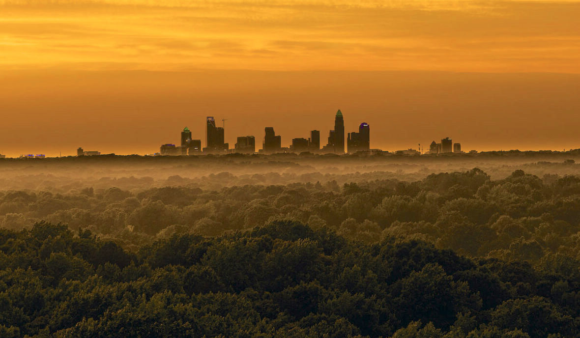
Charlotte is a city of distinct neighborhoods that do not announce themselves from the highway. This guide covers the ones we know well — what the housing stock actually is, where the boundaries fall, and what is changing.
How to use this
Charlotte organizes into a few broad bands. The center city sits inside the I-277 loop. A ring of streetcar-era neighborhoods surrounds it, built between roughly 1890 and 1930 and largely walkable. Beyond those sits the post-war and post-1990 development that makes up most of the county's housing.
Three Catawba River lakes wrap the metro to the north, southwest, and northwest. Each is a distinct market with its own rules about docks, shoreline, and which county — and in one case which state — you end up in.
Each neighborhood below links to a full page. The four at the bottom are covered here directly.
Part one
Eleven neighborhoods with full pages. Each covers housing stock, boundaries, day-to-day amenities, and school assignment.
Master-planned south Charlotte — 1990s to 2010s traditionals, golf, and a new walkable center.
The center city inside the I-277 loop. High-rise condo, four wards, rail at the door.
Mill conversions and mid-rise condo along the Blue Line and the Rail Trail.
A 1900s mill village turned arts district, two Blue Line stops from Uptown.
The 1911 Nolen plan — curving streets, willow oak canopy, estate-scale historic housing.
A second downtown wrapped around quiet mid-century residential streets.
Streetcar-era bungalows and four-squares five minutes east of Uptown.
The southwest quadrant — new construction at scale, from the airport to the lake.
Small, 1920s, estate-scale. Thin inventory between Providence and Randolph.
An 1891 plat between Uptown and Myers Park, under heavy redevelopment pressure.
A 1920s historic district just west of Uptown, walkable to the stadium.
Three Catawba River impoundments, three genuinely different markets. Dock permitting, water depth, and county lines matter more here than anywhere else in the region.
520 miles of shoreline across four counties, twenty minutes north.
The only Catawba lake that straddles the North and South Carolina line.
The smallest and quietest of the three — protected watershed, scarce waterfront.
Part two
These four are established, well-defined neighborhoods that come up constantly in Charlotte searches. They are covered here rather than on their own pages.
Charlotte's first streetcar suburb, laid out in 1891 immediately south of Uptown and organized around East Boulevard and Latta Park. The housing is turn-of-the-century through 1930s — bungalows, Colonial Revival, and four-squares on sidewalk-lined blocks with mature canopy.
Portions carry local historic district designation, so exterior changes go through review. Dilworth shares a boundary with South End, which means the quiet residential streets sit a few blocks from the densest new construction in the city.
East of Uptown along Central Avenue and The Plaza, built out mostly in the 1920s and 1930s. The stock is bungalows and period cottages on flat lots, with a walkable commercial strip along Central that has become one of the busiest independent retail corridors in Charlotte.
Infill and renovation are heavy and ongoing. As in NoDa, the spread between an untouched house and a finished one is proportionally wide, and condition drives price more than street does.
Southeast of center city around Randolph Road and Sharon Amity, roughly five miles from Uptown and inside every loop that matters. Built out in the 1950s and 1960s — brick ranches and split-levels on flat lots that are wider than the price point suggests for how close in it sits.
Three things happen on the same block here: original houses trading as-is, thorough renovations that keep the footprint, and full teardowns replaced by new construction at multiples of the original price. That mix makes pricing a Cotswold house harder than pricing one in a uniform subdivision.
Cotswold Village covers groceries and everyday errands without a highway, and Randolph Road runs straight into center city.
The northeast quadrant, built around UNC Charlotte and the University Research Park. Most of the housing dates from the 1980s through the 2000s — subdivisions, townhomes, and a large and growing apartment stock.
The Blue Line's northern terminus is here, which puts Uptown on a direct rail connection. It is one of the more accessible entry points inside the county line, and the area around the campus and the research park continues to add density.
Next step
Tell us what you are looking for — square footage, commute, price, how much renovation you want to take on — and we will tell you which of these actually match, and which ones people usually rule out once they see them.