
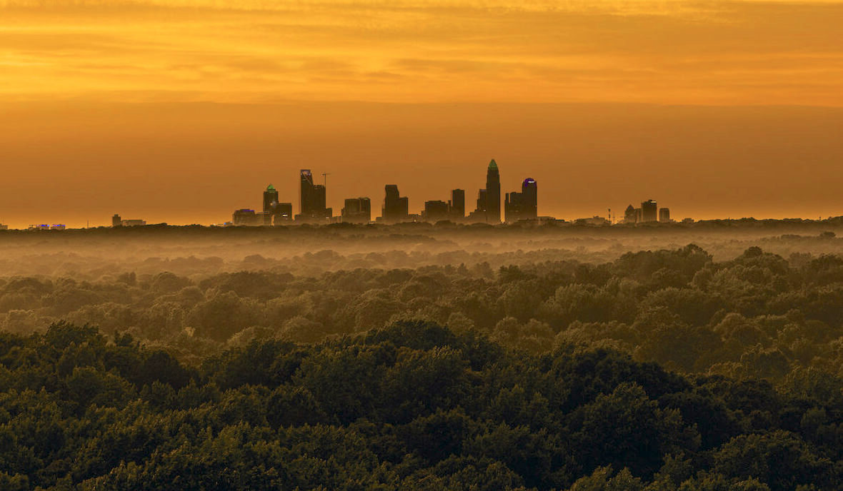
South End is Charlotte's clearest example of infrastructure creating a neighborhood. The Blue Line opened in 2007 along an old freight corridor, and the textile mills and warehouses on either side of it became the densest new residential district in the city.
Orientation
South End runs southwest from the edge of Uptown along South Boulevard and the light rail corridor, bounded loosely by I-277 at the top and Woodlawn Road at the bottom. Dilworth sits immediately east.
The organizing spine is the Rail Trail — a paved path running alongside the Blue Line for roughly four miles. Nearly everything in South End is oriented toward it, which is unusual for Charlotte and is the main reason the district feels walkable.
The building stock tells the history plainly: brick mill buildings and warehouses from the early 1900s, then almost nothing until the mid-2000s, then a decade and a half of continuous construction.
The numbers
Housing
Adaptive-reuse lofts came first — mill and warehouse conversions with timber posts, exposed brick, and floor plans that follow the original structure rather than a spec sheet. Supply is fixed and small, which is why they hold value differently from everything around them.
New-build condominium is the volume product: mid-rise, structured parking, amenity decks, delivered in waves from roughly 2015 forward. Buildings a few years apart can differ noticeably in finish level and HOA reserve position.
Townhomes fill the edges, mostly on the streets set back from South Boulevard. These are the closest thing South End offers to a conventional house, and they trade accordingly.
The thing to look at carefully is what is entitled next door. This district has been under continuous construction for fifteen years, and a view or a quiet side of a building is not a permanent condition.
The map
The district is long and reads differently at each end:
Closest to Uptown, around East and West Boulevard. Densest, newest, and most walkable to center city.
Around the Atherton Mill site. The most established retail concentration and some of the earliest conversions.
Around the Charlotte Design Center on South Boulevard — showrooms, trade retail, and converted commercial space.
Locally LoSo, toward Scaleybark and Woodlawn. Later to develop, more industrial fabric remaining, generally a lower entry point.
Day to day
South End has the highest concentration of breweries, restaurants, and fitness studios in Charlotte, nearly all of it in ground-floor space fronting the Rail Trail. That is a deliberate zoning outcome rather than an accident.
The practical consequence is that most errands happen on foot or by scooter, and the district is loudest exactly where it is most convenient. Units facing the Rail Trail and units facing an interior courtyard are genuinely different products.
Getting around
Blue Line stations at East/West Boulevard, Bland Street, New Bern, and Scaleybark put most of South End within a short walk of rail. Uptown is minutes; the airport is not on the line and remains a drive.
South Boulevard and Tryon carry the car traffic. Both back up at peak, and the Rail Trail is frequently the faster way to move within the district.
Next step
Which building, which floor, and which direction it faces matter more here than in any other part of Charlotte. Tell us what you want and we will narrow it properly.